Sorry I had a ‘rant’ about the speed of development our here in the southern cays of Belize. Despite the building on land, there is still some lovely unspoilt snorkeling and diving to be had. The designation of areas close to the cays as Marine Parks has meant that marine species can prosper unmolested.
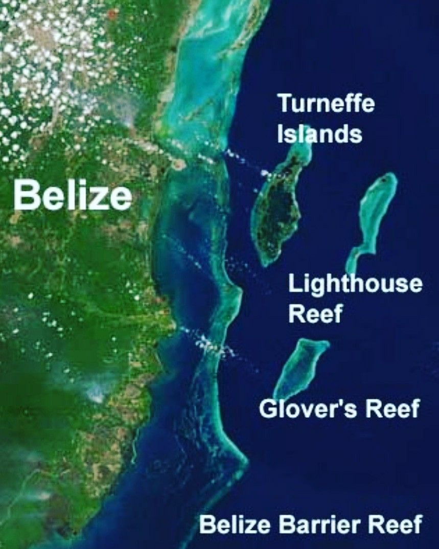
Ranguana Cay
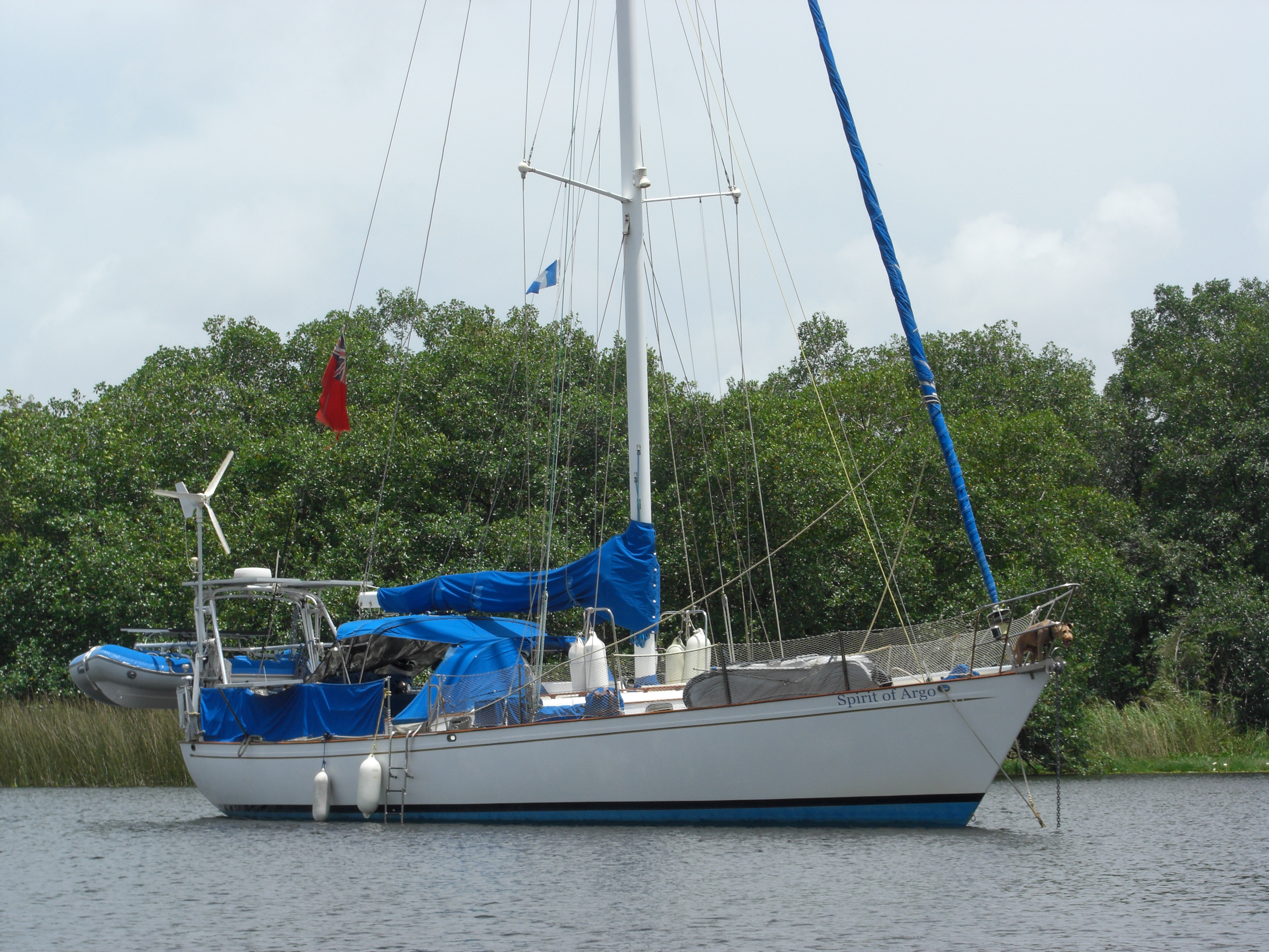
With the promise of a few days of light winds we left the mainland of Belize behind and headed out to the tiny cays that dot along the barrier reef.


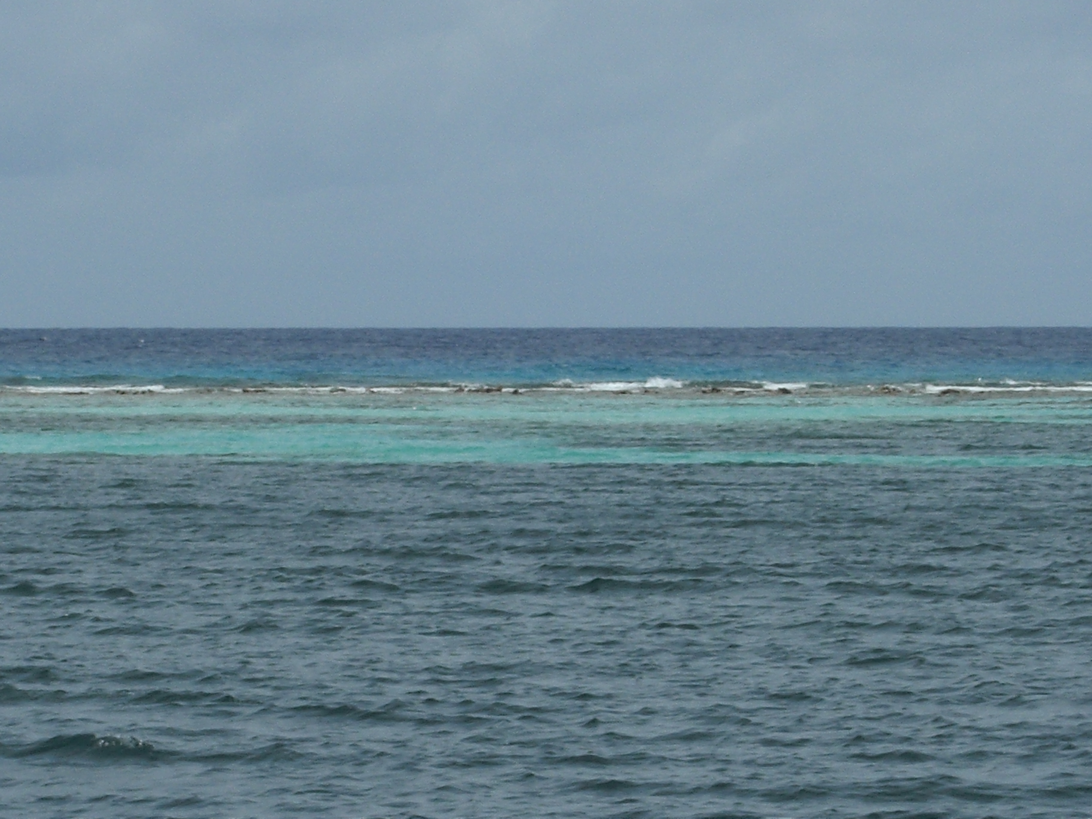
In the calm winds you could not see the barrier reef itself, only the few trees that rest on the tiny cays here.


With such beauty below the water, why do you want to pay $25 Belize for use of the Cay’s beach and facilities?


With only a short weather window open to us we headed further south to the Sopodilla Cays.
Northeast Sopodilla Cay
We travelled inside the barrier reef, past a few more small cays, towards the end of the reef and the last few of Belize’s outer cays.
We chose this cay because it is the last one in the areas without a development on it. It seems every cay, no mater the size, has either a development on it or at least a house someone is using to stake their claim. Don’t believe me? Check out these pictures of the tiny cays we passed.


All the cays here are inside a protected Marine Park, are surrounded by incredible reefs and backed by the tail end of Belize’s great barrier reef. You will find incredible snorkeling and diving around all of them. I just like a little beach front to have a run on.

Although there were no strong winds forecast for the next few days, it was still rainy season, and we had to plan our activities around breaks in the frequent rain showers.


Back to Placencia
We really wanted to stay and do more diving. Our next tidal window to get over the shallow sandbar at the mouth of the Rio Dulce, Guatemala (our hurricane hole for the rainy season) is the 16th and we wanted to spend the last of the sailing season out here on the reef, not cowering for shelter on the mainland. But Chris Barker (SSB radio weather forecaster for the Caribbean) says 35 knots sustained with gust up to 50 knots, so back to a sheltered anchorage we go.

Now we could head back the way we came, but there appeared to be a shorter, and straighter route, back to Placencia. Only one problem. The chart clear states ‘incomplete survey’!
Of course the humans took this route. We seemed to get approval from the dolphins. Guess they are not used to seeing boats pass this way.


The direct route paid off. We got through safely and knocked 5 hours off our travelling time. We were back to the sheltered anchorage of Placencia by noon.


At least we have captured lots of rain to make up for the broken water maker.
There always has to be a silver lining…you just have to look for it.


One thought on “Belize, Ranguana Cay and Northeast Sapodilla Cay – Very good snorkeling and diving”
As usual the pictures are amazing.
The boat is looking in great shape as are you Cain, keep up the good work.
Those Thunder storm clouds didn’t look very nice but I’m sure the dolphins will made up for it..
Me Nick and Richard are picking up commendations for Karnak on the 10th of July so we will have a beer for you then..
Stay safe guys
Tony, Laura, Gemma and Harry..x